Level up your mapping with mapdata.uk
We work closely with trusted UK data providers to supply accurate, ready‑to‑use geospatial data and digital mapping tools for architects, surveyors, estate agents and mapping professionals. Fast access, clear formats and dependable quality for every project.
Our mapping platform is designed to be simple, quick and cost‑effective, giving you instant access to accurate property and OS map data that you can download as a map you can print in PDF or JPG, export in CAD (DWG / DXF) or GIS‑ready formats (SHP), and use immediately for planning applications, marketing materials, property reports or first registrations.
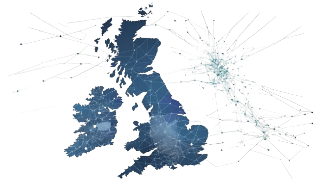
We work with our partner data suppliers to bring you data into a single location






Ready for
Mapdata.uk provides CAD‑ready and GIS‑ready geospatial data for architects, planners, surveyors and property professionals across the UK. Our platform delivers accurate Ordnance Survey mapping and MasterMap data in DWG, DXF, SHP, PDF and JPG formats — ready for immediate use.
DWG & DXF planning maps for architects
Download CAD‑ready MasterMap, location plans and site plans for AutoCAD, Revit, ArchiCAD and Vectorworks — ideal for planning drawings and feasibility studies.
CAD‑ready planning application maps
Compliant 1:1250, 1:500 and 1:200 maps for planning submissions and design development.
Site feasibility & constraints analysis
Access detailed OS mapping, terrain models, flood risk data and environmental overlays.
Property, land & boundary assessments
Evaluate ownership, parcel boundaries, easements and development potential.
Marine & offshore datasets
OceanWise marine mapping for coastal engineering, environmental studies and offshore operations.
Powered by licensed Ordnance Survey and Oceanwise data.
Our main services
With our extensive GIS and spatial expertise, we are familiar with solving problems and creating innovative solutions. Some of our services are listed below:
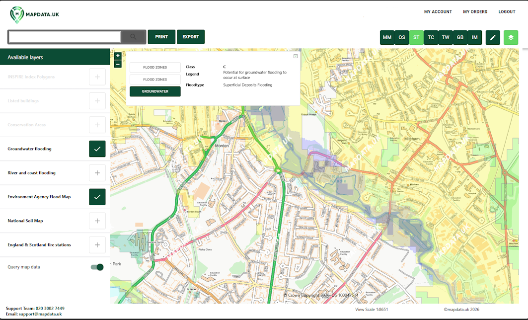
Mapping & Data Portal
Our simple, user‑friendly platform gives you instant access to maps and data from trusted UK sources including Ordnance Survey, the British Geological Survey and the Environment Agency, with supporting data overlays you can view, query, print and download. Mapdata.uk makes it easy to analyse any location and understand the spatial constraints that could influence its value or potential use.
Download maps in different digital formats (PDF or JPG)
Export OS map data in CAD and GIS ready formats (DXF, DWG or SHP)
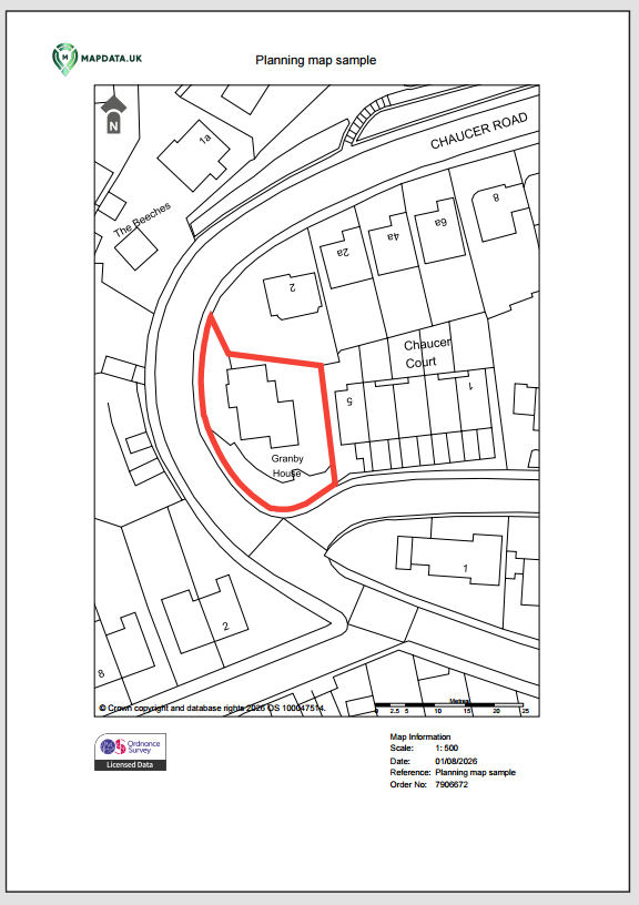
Planning Maps
Get the exact map you need. Our Planning Maps service provides accurate, high-quality Ordnance Survey mapping for planning applications, property development, land assessments and more. Whether you’re an architect, surveyor, planner, developer or homeowner, we make accessing the right map fast, reliable and cost‑effective.
Professional planning maps from just £9.50 — exceptional value without compromising quality.
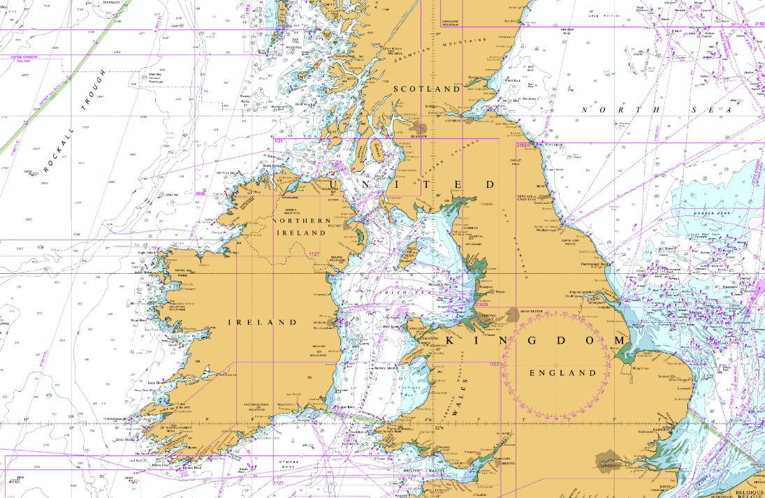
Marine data
From shipping routes and industrial facilities to pipelines and wrecks, if you work in a maritime environment you’ll know there’s a whole world hidden beneath the waves — and it’s an environment where accuracy matters. OceanWise marine data gives you the clarity and confidence to understand that world before you ever set foot offshore.