Marine data
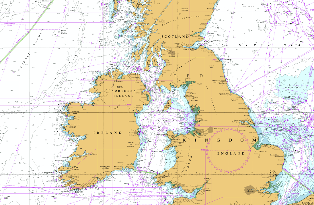
Marine data is critical to the planning, management, operation and sustainable exploitation of our marine resources. Our datasets and web services easily integrate into GIS and web applications.
Marine datasets available
By partnering with leading marine data suppliers and software providers, Mapdata.uk able to provide our customers with cost effective data solutions.
Raster Charts
Raster Charts comprises the well-known nautical chart series from the most common nautical chart series available for commercial use. Supplied as geo-referenced image files for easy loading and use in GIS. This is a low cost and popular nautical chart base map.
Marine Themes (Vector)
Marine Themes comprises authoritative data from the UK and other best available sources, engineered into logical data layers for easy loading and efficient use in GIS. This makes for comprehensive, flexible and intelligent marine mapping at an attractive price.
Raster Charts XL
Raster Charts XL are derived from raster-based material obtained under licence from the UK, and other, Hydrographic Offices where land and other non-marine features have been removed. This provides familiarity for users who work with nautical charts and has the advantage of being able to combine it with any land mapping, or aerial imagery, of your choice. Raster Charts XL coverage is available depending on permissions granted by contributing nations worldwide.
Marine Themes DEM

Marine Themes Digital Elevation Model (DEM) comprises a gridded (raster) dataset of seabed elevation relative to a specified datum. The surface has been created from hydrographic survey and chart derived data depending on the data available for a particular area and has a resolution of 1 and 6 arc seconds, which is approximately 30 and 180 m, respectively. The 1 arc second DEM is provided as individually named half degree tiles and the 6 arc second as individually named two degree tiles. Depending on the resolution of input data the 1 arc second DEM is not available for all areas. Data can be supplied in a variety of digital formats.
Webservices
Through our conversations with our marine based clients, We understands that the traditional method of just recieving data directly is no longer is suited to everyone. Mapdata.uk is therefore pleased to be able to offer your data supplied as a WMS / WFS feed.
Advantages of taking a Webservice feed
- The data will always be the most recently supplied by the data supplier.
- Remove the need for expensive additional plugin software for your GIS.
- Remove data storage and management issues.
- Charts on demand. Add additional charts to your feed as and when needed.
- Simple up to 12 months licence.
- Depending on the data type and your usage requirements, favourable, more cost effective licensing may be available.
Contact us for more details.